.

  • 4G internet connectivity 4G internet connectivity
  • Autonomous Photogrammetry Autonomous Photogrammetry
  • 48 MP Camera 48 MP Camera
  • A Unique Robotic Platform A Unique Robotic Platform
  • 32 min Flight time 32 min Flight time
  • Cybersecurity by Design Cybersecurity by Design

.

ANAFI Ai

The first 4G connected robotic UAV

Parrot believes that drones are useful for everyday business.
They must be easy to use and adaptable to complex missions.

ANAFI Ai provides professionals features that really matter: 4G as the new communications standard, 48 MP of imaging accuracy, intelligent obstacle avoidance for autonomous photogrammetry missions and a unique robotic platform with the first open-source piloting application. ANAFI Ai embeds a Secure Element that protects both the integrity of the software and the privacy of data transferred.

static 50% image Ai

4G connectivity

4G is profoundly changing the use cases for drones. With 4G, the data link between the drone and the pilot becomes robust in all circumstances. Already widely and reliably deployed around the world, 4G offers long range transmission at low frequency bands at 700MHz - 900MHz. Additionally, the 4G connection means professionals can operate the drone at any distance. Many 4G operators offer quality-of-service guarantees for first responders, such as firefighters and police. At Parrot, we have worked hard to develop a powerful streaming software adapted to any 4G situation. Our software quickly optimizes the definition and frame rate to the network quality. Our software is also robust to packet and frame losses. ANAFI Ai itself does not require a subscription; users can utilize any SIM card capable of sending data. Parrot provides its users with an encrypted infrastructure that works with all smartphones.

Image Step 2
grasshoppers

48 MP imaging accuracy

ANAFI Ai's Quad Bayer sensor offers 14 EV of dynamic range in HDR10 mode. It catches all the details both in highlights and shadows. Inspection professionals can use the 6x digital zoom to observe 1 cm details at a distance of 75 m. The controllable gimbal tilt range (from -90° to +90°) gives professionals access to complex points of view such as the underside of a bridge structure. The hybrid image stabilization on 6 axis (3-axis mechanical, 3-axis electronic) ensures sharp photos even in crosswinds of up to 12.7 m/s. P-Log format allows professionals to retain more information with raw files.

Autonomous Photogrammetry

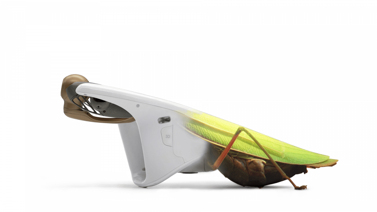
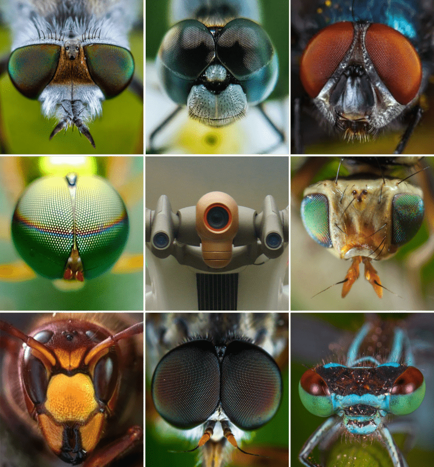
ANAFI Ai’s biomimetic form factor mimics nature's fitness. Its swivel head has an omni-directional camera, ensuring precise obstacle avoidance in every flight direction. When obstacles are detected, ANAFI Ai automatically determines the best trajectory to pursue its mission.

Embedded Artificial Intelligence allows for photogrammetry-specific flight plans to be performed automatically, optimizing productivity, and saving time. Professionals can generate optimized missions based on the land registry of the building selected in just one click.

ANAFI Ai’s Quad Bayer 48 MP sensor delivers survey-grade accurate 2D and 3D models. It offers the same precision as drones with a 1" 20MP sensor, while flying 1.8 times higher. A GSD of 0.46 cm/px is obtained at an altitude of 30 m. Pictures can be captured at 1fps, 2x faster than any other drone in the market.

3D MODEL OF THE CITY OF POSITANO MAPPED IN 4G

ANAFI Ai images are compatible with all photogrammetry software suites. With Pix4D, the market leader in photogrammetry software, Parrot has pushed the integration one step further. During the flight, ANAFI Ai sends the pictures to Pix4Dcloud directly. Computation starts when the drone lands so that professionals gain productivity by avoiding manual time-consuming data transfer.

Autonomous Photogrammetry pic

Scroll to top